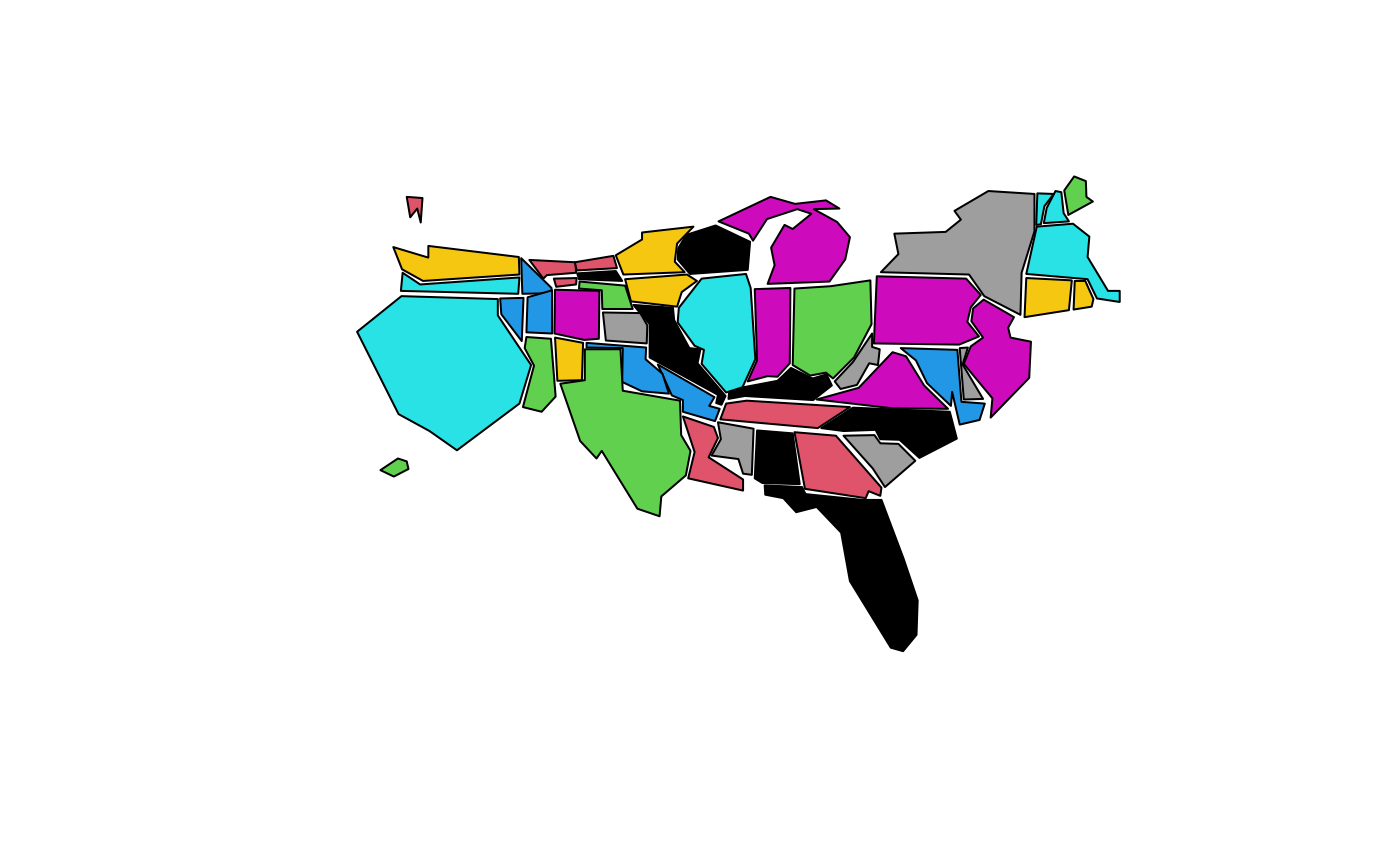
United States State Population Cartogram Map
state.carto.RdThis database produces a cartogram of the states of the United States mainland based on CartoDraw, roughly proportional to population (see references).
state.carto.center are coordinates of the state centers
for annotation purposes.
Format
The data file is merely a character string which
specifies the name of an environment variable which contains the
base location of the binary files used by the map drawing functions.
This environment variable (R_MAP_DATA_DIR for the datasets in the
maps package) is set at package load time if it does not
already exist. Hence setting the environment variable before loading
the package can override the default location of the binary datasets.
See also
map.
References
Richard A. Becker, and Allan R. Wilks, "Maps in S", AT&T Bell Laboratories Statistics Research Report [93.2], 1993.
Richard A. Becker, and Allan R. Wilks, "Constructing a Geographical Database", AT&T Bell Laboratories Statistics Research Report [95.2], 1995.
CartoDraw, http://www.computer.org/csdl/trans/tg/2004/01/v0095-abs.html